Last week, the United Nations agency presented a software that will help them attend to the problems related to climate change, food production, and deforestation.
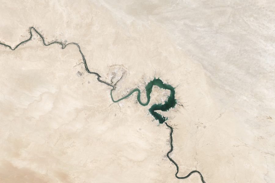
As UN unveiled its advanced online platform, the agency revealed that their newly-run Food and Agriculture Organization (FAO) software called Open Foris is powered by Google. It uses high-definition satellite images to track and monitor the environment and changes in the planet’s land use and forest cover.
In a global conference in Rome, Erik Lindquist, FAO forestry officer said that the software enables them to get answers more quickly than ever. That instead of preparing data for analysis, what they are doing now is to probe those data for answers.
The officer added that Open Foris is free to use by everyone who wants to assess the capacity of carbon storage of a specific area. Scientists and government offices are also free to use the software in order to monitor the misuse of natural resources.
Lindquist further added that the software provides them more accurate results in determining whether the world’s climate situation is improving or getting worse.
Open Foris can also be used to check and evaluate water resources and refugee camps.


